Discover The City
Facts
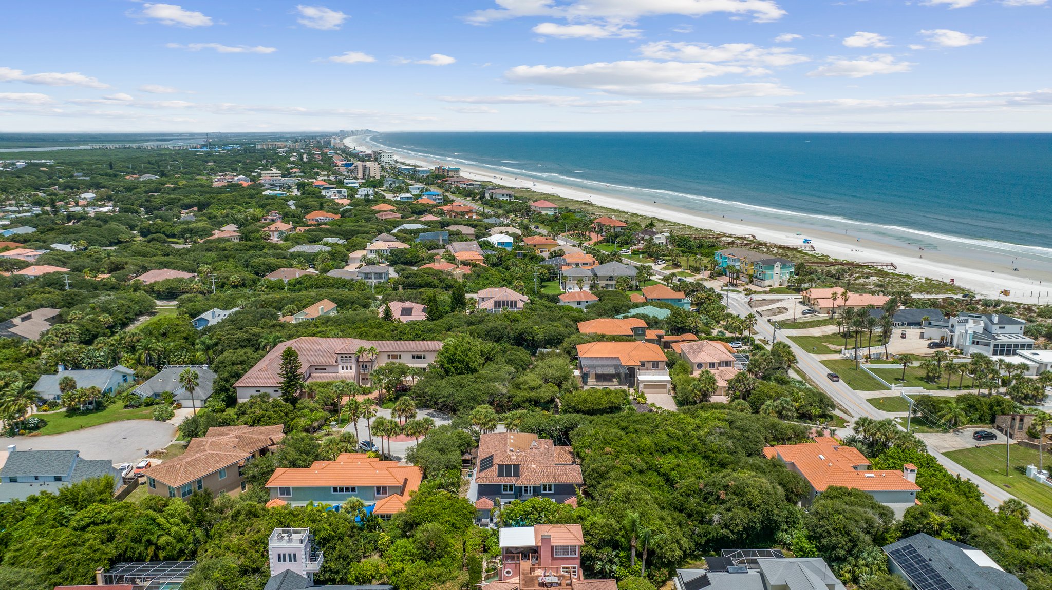
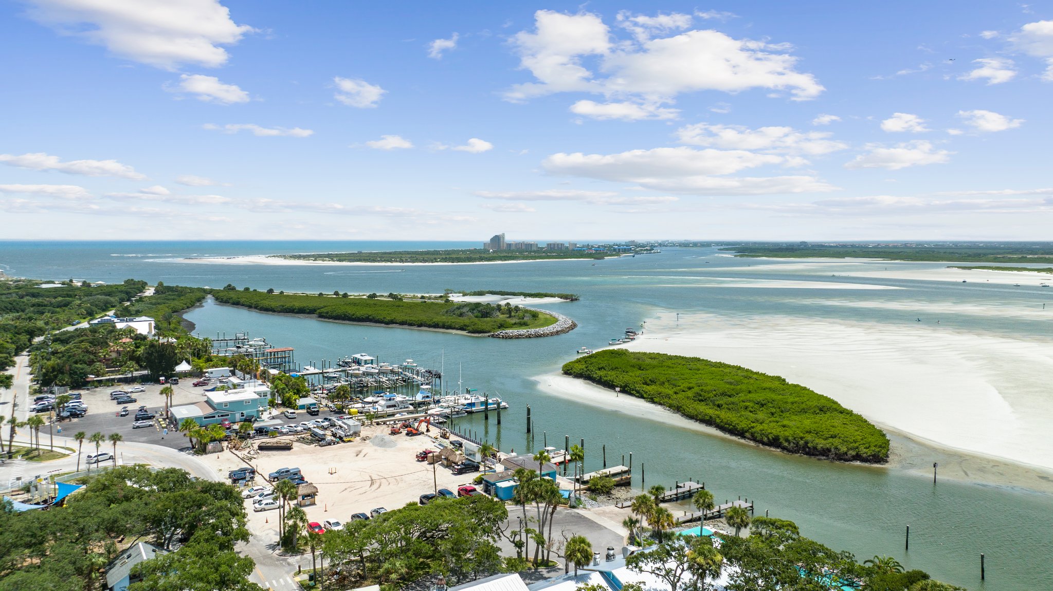
Ponce Inlet lies on a peninsula adjacent to the Ponce de León Inlet, and between the Halifax River and Atlantic Ocean.
According to the United States Census Bureau, the town has a total area of 14.7 square miles (38 km2), of which 4.3 square miles (11 km2) is land and 10.3 square miles (27 km2) is water.
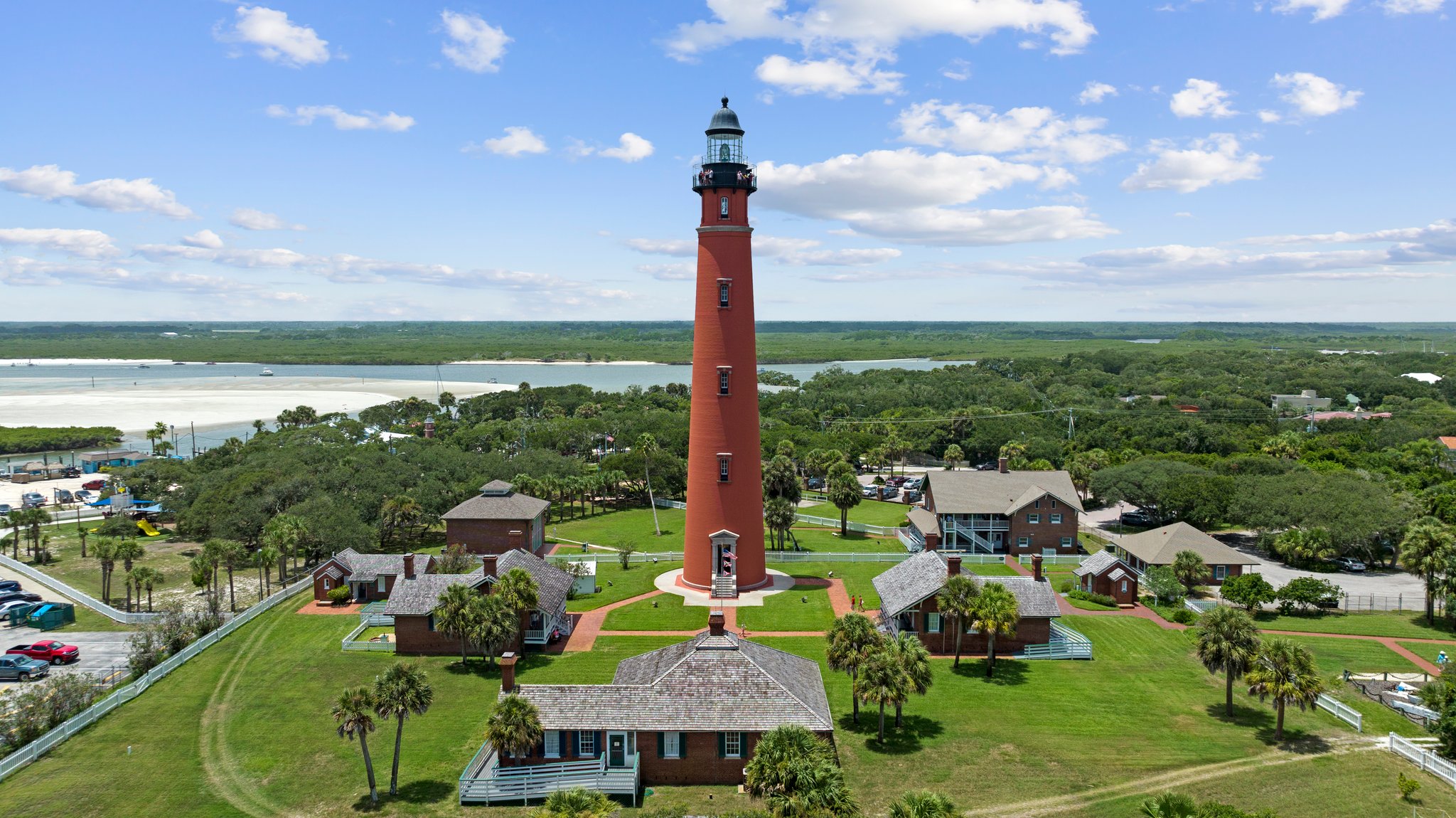
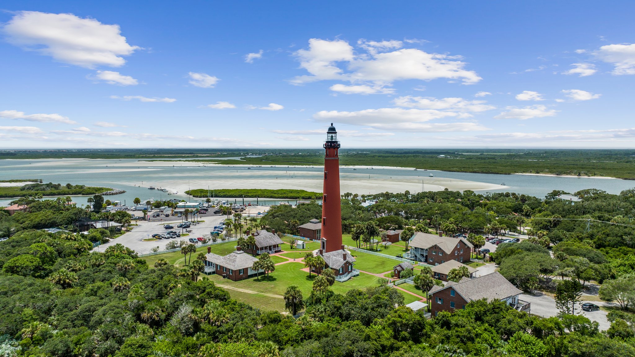
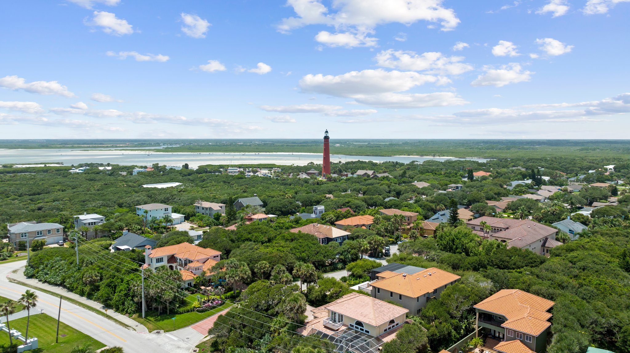
Ponce Inlet Lighthouse
Step back in time and climb 175 feet of fun in the Florida sun at the Ponce Inlet Light Station and Museum! Constructed in 1887, the Ponce de Leon Inlet Lighthouse has guided mariners along the Florida coast for more than 130 years. Declared a National Historic Landmark in 1998, this world-famous lighthouse museum is conveniently located ten miles south of Daytona on the World’s Most Famous Beach and offers a treasure trove of experiences for young and old alike. Not to be missed, a visit to the Ponce Inlet Lighthouse is guaranteed to take your Florida vacation to new heights of adventure!
Transportation
The Volusia County Council created Volusia County’s public transportation system, called Votran, in 1975. Votran is a service of Volusia County Government. Votran provides transportation to the majority of urban and rural areas of the county with a fleet of 82 revenue-producing fixed route buses and 76 paratransit vehicles. Additional service is provided through contracts.
Beach
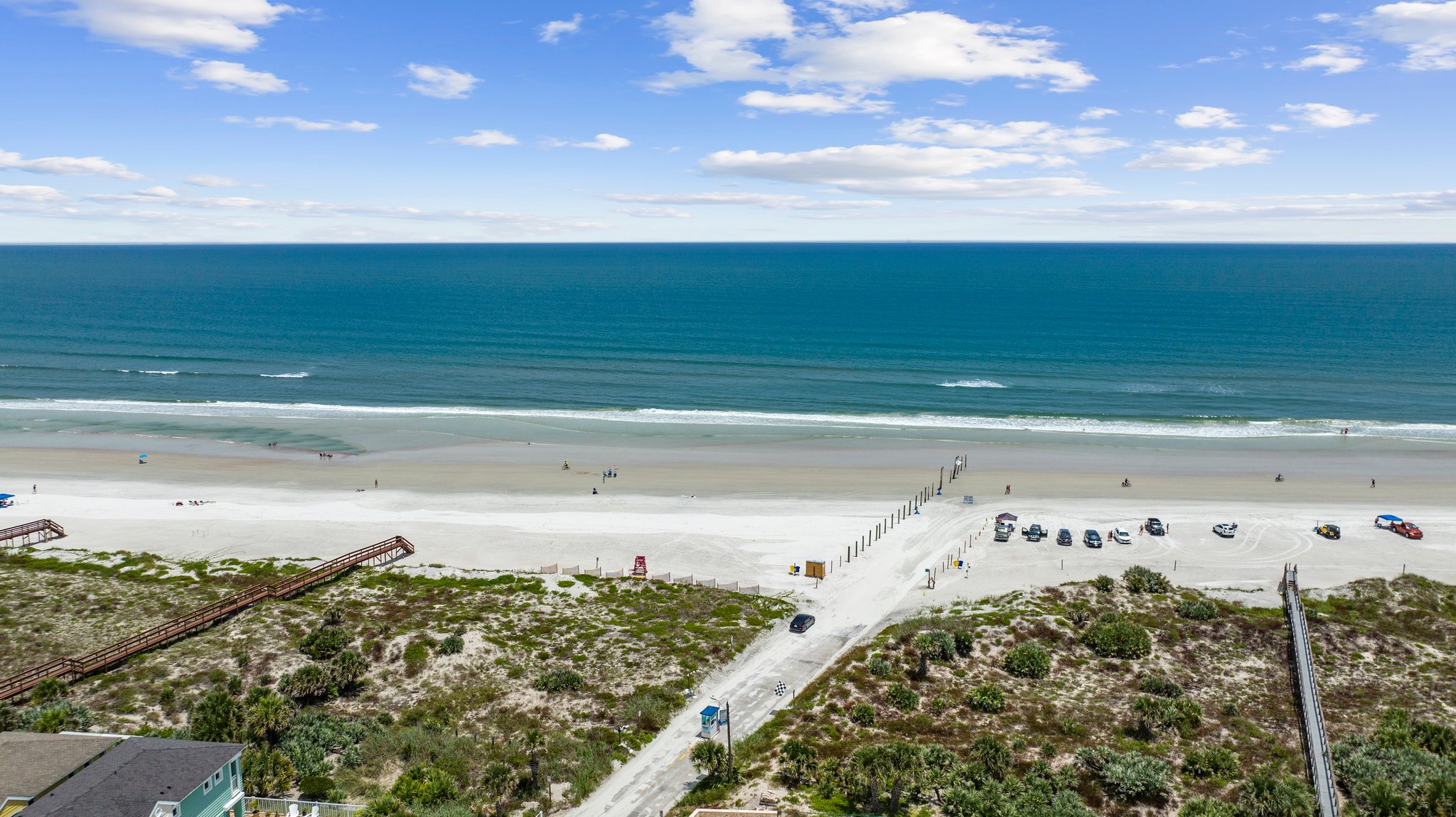
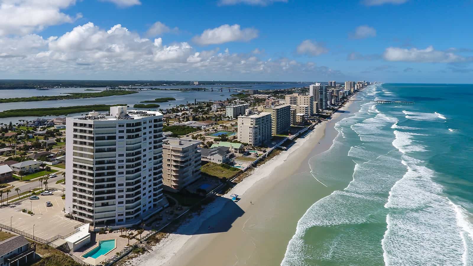
Volusia's beaches are divided into three experience zones -- Natural, Transitional and Urban. Natural beach zones exist from the North Peninsula State Recreation Area to Granada Boulevard in Ormond-by-the-Sea, from Emilia Avenue in Daytona Beach Shores to Beach Street in Ponce Inlet, and from 27th Avenue in New Smyrna Beach to Canaveral National Seashore in Bethune Beach.
Driving on the beaches of the Daytona Beach and New Smyrna Beach areas is a Volusia County tradition dating back to the early days of the automobile.

